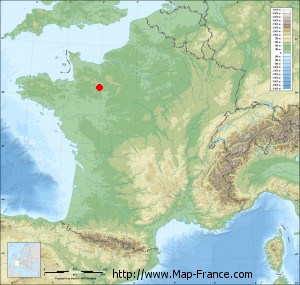
La Ferrière-Bochard on the relief France map in Lambert 93 coordinates
|

See the map of La Ferrière-Bochard in full screen (1000 x 949)
|
At left, here is the location of La Ferrière-Bochard on the relief France map in Lambert 93 coordinates.
Here are the altitudes of La Ferrière-Bochard :
- Town hall altitude of La Ferrière-Bochard is 160 meters
- Minimum altitude of La Ferrière-Bochard is 133 meters
- Maximum altitude of La Ferrière-Bochard is 210 meters
- Medium altitude of La Ferrière-Bochard is 172 meters
Here are the altitudes of Alençon, prefecture of Orne department:
- Town hall altitude of Alençon is 130 meters
- Minimum altitude of Alençon is 127 meters
- Maximum altitude of Alençon is 152 meters
- Medium altitude of Alençon is 140 meters
Here are the altitudes of the french biggest cities:
Paris : 33 meters
Marseille : 20 meters
Lyon : 237 meters
Toulouse : 146 meters
Nice : 10 meters
Nantes : 20 meters
Strasbourg : 144 meters
Montpellier : 35 meters
Bordeaux : 16 meters
Lille : 20 meters
Rennes : 35 meters
Reims : 83 meters
Click here for the terrain map of La Ferrière-Bochard in full screen:
Relief map of La Ferrière-Bochard
|
This relief map of La Ferrière-Bochard is reusable and modifiable by making a link to this page of the Map-France.com website or by using the given code :
|
Terrain base map of La Ferrière-Bochard
|

See the terrain base map of La Ferrière-Bochard in full screen (1000 x 949)
|
Small relief base map of La Ferrière-Bochard
|
This base map of La Ferrière-Bochard is reusable and modifiable by making a link to this page of the Map-France.com website or by using the given code :
|
Map of La Ferrière-Bochard with regions and prefectures
|
View the map of La Ferrière-Bochard in full screen (1000 x 949)
|
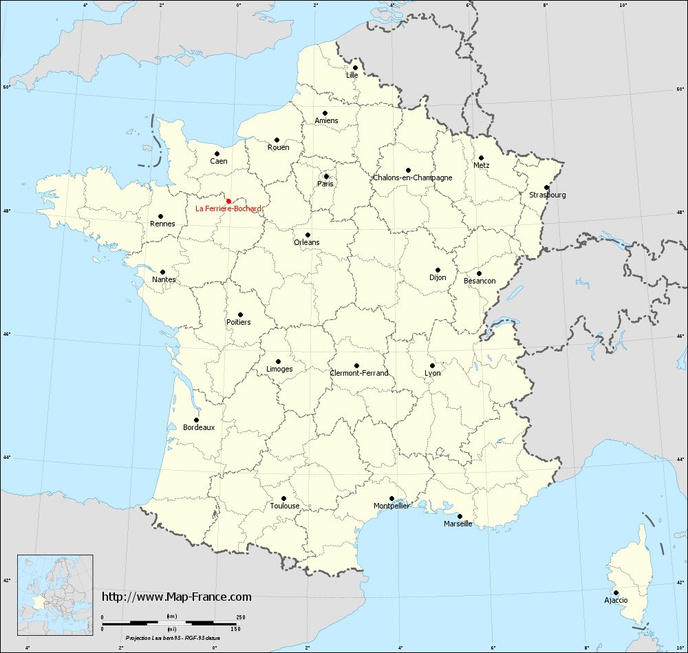
You will find the location of La Ferrière-Bochard on the map of France of regions in Lambert 93 coordinates. The town of La Ferrière-Bochard is located in the department of Orne of the french region Basse-Normandie.
Geographical sexagesimal coordinates / GPS (WGS84):
Latitude: 48° 24' 50'' North
Longitude: 00° 01' 54'' West
Geographical decimal coordinates :
Latitude: 48.413 degrees (48.413° North)
Longitude: -0.032 degrees (0.032° West)
Lambert 93 coordinates :
X: 4 757 hectometers
Y: 68 169 hectometers
Lambert 2 coordinates :
X: 4 247 hectometers
Y: 23 821 hectometers
Below, the geographical coordinates of Alençon, prefecture of the Orne department:
Geographical sexagesimal coordinates / GPS (WGS84):
Latitude: 48° 25' 47'' North
Longitude: 00° 05' 31'' East
Geographical decimal coordinates :
Latitude: 48.433 degrees (48.433° North)
Longitude: 0.089 degrees (0.089° East)
Lambert 93 coordinates :
X: 4 849 hectometers
Y: 68 183 hectometers
Lambert 2 coordinates :
X: 4 339 hectometers
Y: 23 836 hectometers
|
This map of La Ferrière-Bochard is reusable and modifiable by making a link to this page of the Map-France.com website or by using the given code :
|
Map of La Ferrière-Bochard with departments and prefectures
|
Voir la carte of La Ferrière-Bochard en grand format (1000 x 949)
|
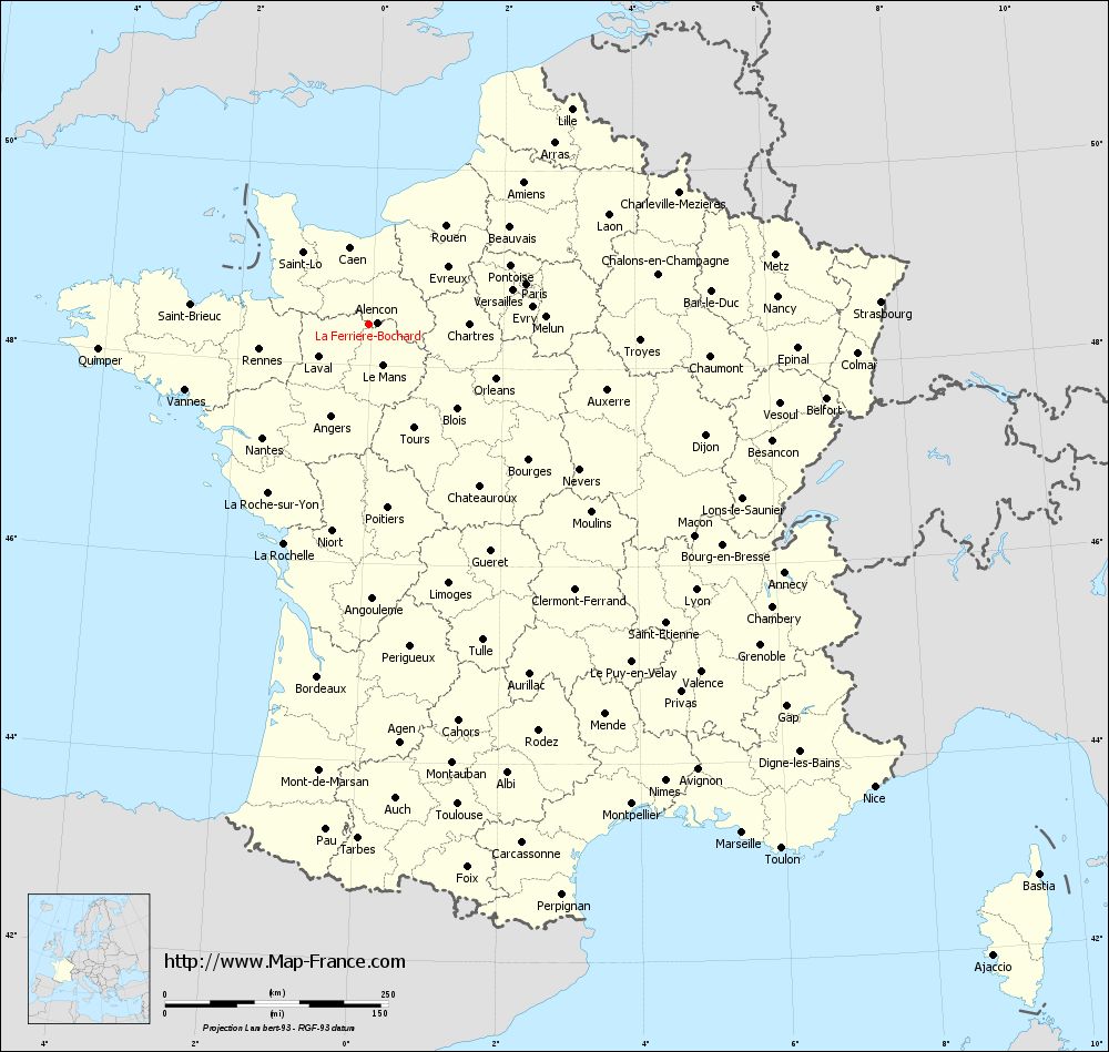
Here is the localization of La Ferrière-Bochard on the France map of departments in Lambert 93 coordinates. The city of La Ferrière-Bochard is shown on the map by a red point.
The town of La Ferrière-Bochard is located in the department of Orne of the french region Basse-Normandie.
The latitude of La Ferrière-Bochard is 48.413 degrees North.
The longitude of La Ferrière-Bochard is 0.032 degrees West.
Here the distance between La Ferrière-Bochard and the biggest cities of France:
Distances are calculated as the crow flies (orthodromic distance)
Distance between La Ferrière-Bochard and Paris : 181.51 kilometers
Distance between La Ferrière-Bochard and Marseille : 706.46 kilometers
Distance between La Ferrière-Bochard and Lyon : 471.46 kilometers
Distance between La Ferrière-Bochard and Toulouse : 546.79 kilometers
Distance between La Ferrière-Bochard and Nice : 767.29 kilometers
Distance between La Ferrière-Bochard and Nantes : 174.59 kilometers
Distance between La Ferrière-Bochard and Strasbourg : 573.41 kilometers
Distance between La Ferrière-Bochard and Montpellier : 612.76 kilometers
Distance between La Ferrière-Bochard and Bordeaux : 398.78 kilometers
Distance between La Ferrière-Bochard and Lille : 331.33 kilometers
Distance between La Ferrière-Bochard and Rennes : 126.56 kilometers
Distance between La Ferrière-Bochard and Reims : 311.58 kilometers
Clic here to see the map of La Ferrière-Bochard in full screen:
La Ferrière-Bochard on the map of french departments
|
This administrative map of La Ferrière-Bochard is reusable and modifiable by making a link to this page of the Map-France.com website or by using the given code :
|
Administrative base maps of La Ferrière-Bochard
|

See the administrative base map of La Ferrière-Bochard in full screen (1000 x 949)
|
Small administrative base map of La Ferrière-Bochard
|
This base map administrative of La Ferrière-Bochard is reusable and modifiable by making a link to this page of the Map-France.com website or by using the given code :
|
 French Version : http://www.cartesfrance.fr